Space the Next Frontier (for Tracking Feral Buffalos)
- By Lachlan Colquhoun
- June 08, 2020

Australia is known for its exotic and unique local fauna, but it is also home to a massive number of feral animals.
There are, for example, around 1.2 million feral camels, and they are doubling in population every nine years.
There are also believed to be 24 million feral pigs, 6.3 million feral cats, 2.6 million feral goats, and 5 million feral donkeys.
All these are outnumbered by an estimated 150 million feral rabbits.
These introduced species have a major impact on the environment, and on agriculture.
Pest control
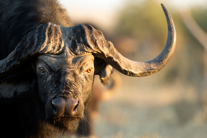
In the Northern Territory, the estimated 160,000 feral buffalos have become an export product to South-East Asia, but they also do significant damage to the environment. They damage natural waterholes, destroy wetlands and spread weeds.
Last month, in what could establish a precedent for dealing with these pests, an AUD 4 million project was announced to help manage the buffalo using new micro-satellite technology.
Each weighing around 5 kilograms and no larger than a shoebox, a constellation of low orbiting micro-satellites orbiting at around 450 kilometers above the earth will track the herds of buffalos from signals sent by GPS tracking ear tags. Several thousands of the animals will be tagged.
“We’re not talking about individual paddocks here, we’re talking about 25 million hectares over the three properties we are working on,” CSIRO scientist Dr. Justin Perry told the ABC. For reference, that is about the size of the U.K.
Up until now, researchers have used land-based stations to collect data on buffalo movement, but the structures just weren’t tough enough to withstand the conditions, which include cyclones and extreme weather events.
Now, a combination of 5G, micro-satellites and IoT technology holds out the promise not only of monitoring incursions by these animals, largely introduced to Australia in the 19th century, but in controlling their movements.
Tracking destroyers
The space technology can deliver real time, geographically accurate insights into herd density and accessibility, and this data can be teamed with other IoT enabled agricultural equipment, such as electric fencing and remote gates, to better control the animals and be part of a new trend in precision agriculture.
“Australia’s space industry is creating exciting new possibilities for innovative ways to solve challenges, like using satellites to manage our wide, open land in more culturally and environmentally sensitive ways,” said Dr. Larry Marshall, chief executive of the CSIRO.
“We will make the schematics, software and code available for free under creative commons, so other communities can also benefit.”
The buffalo tracking satellites are no isolated example. In Queensland, telemetric technology is being trialed which enables traps for feral pigs to be operated from a remote device, such as a mobile phone.
The telemetric traps need only 3G mobile technology and operate with a satellite camera which sends out an alert notification and a real-time image whenever a movement is detected.
Live streamed footage can be viewed online and a trap door shut using an app if the image shows that a pig has been trapped.
The pig trap might be lower tech than the buffalo tracking, but they are both evidence of how Australia is playing catch-up in the use of satellite technology, and in developing its own space industry with specific industry applications.
Space age dawns
In the 21st century, observation and measurement via remote sensing and satellite technology can be a game changer for agriculture, both areas of livestock and also crop management.
Australia has had very little to do with space technology for several decades, but that is changing rapidly, and a new Australian Space Agency was created last year.
At the University of Sydney, Professor Iver Cairns heads up CUAVA – an acronym for the ARC Training Centre for CubeSats, Uncrewed Aerial Vehicles (UAV’s) and their applications.
In 2017, Professor Cairns was part of a team which created a CubeSat launched from the international Space Station as part of the QB50 project to launch 50 new CubeSats in to space.
CUAVA plans to send a new satellite into space every year. But that is only part of a new Australian satellite industry also based in Adelaide, home to the Space Agency and startup company Fleet Space Technologies.
At the same time, another Adelaide startup — Myriota — is developing low cost and secure connectivity for the satellites in IoT applications.
“We are going to have much more imaging data in future from these satellites, and that can used for commercial purposes such as assessing the health of crops and searching for minerals, or for better forecasting and for pure research,” Professor Cairns told me recently.
In the unscrewed vehicle area, CUAVA has also been active and conducted its first flight at Jervis Bay south of Sydney.
“That was a whale watching project,” said Professor Cairns.
“One of our students was interested in behavioral studies of whales and identifying them based on imagery.
“That can be extended to technologies which enable the autonomous identification of objects, and this can be useful in remotely identifying anything from a tree to defense applications in identifying tanks.”
UAVs, he says, are even faster to deploy and less expensive than CubeSats and have shorter observation periods.
Space economics
“The big picture is that a much higher percentage of our GDP will be associated with the collection and processing of space data collected fro satellites and UAVs,” said Professor Cairns.
“Space is vital to our future and we really need to engage with it and we have an opportunity now and an approach which can really see us play a part in the so-called Space 2.0.”
Photo credit: iStockphoto/2630ben


